Most sensor networks reward you with a token that can crash to zero. BLE Radar rewards you with trees, ocean cleanup and captured carbon, verified against a provider's own ledger. Here is how it works, and why I refused the token.
There is a category of app that pays you to walk around with your phone. They are called DePIN, decentralised physical infrastructure networks, and the pitch is always the same: your phone senses something about the world, the network gets more useful, and you get paid in a token.
I built one. Then I threw the token away.
Why a token was the wrong reward
A token's value is a bet. It goes up when people speculate and it goes to zero when they stop, and either way the person who actually walked around with their phone has no say in it. I watched users of other networks earn for months and end up holding something worth less than when they started. That is not a reward, it is a lottery ticket with extra steps.
So BLE Radar pays in something that cannot deflate. Scanning funds real environmental impact, purchased through a fulfilment provider, with a receipt. A token's value is a bet. A tree is a tree. Nobody can short it, and it does not care what the market did this week.
What the app actually measures
It started as Bluetooth density and grew into something I did not expect. Your phone already carries a radio, a magnetometer, a barometer, a light sensor and a microphone. Every one of them is reading something real about the place you are standing in, and none of it is normally shown to you.
BLE Radar reads seven layers and puts them on a public map:
- Bluetooth and WiFi density, counted anonymously and deduplicated per area. Never a device list, never an address.
- Cellular signal quality, a 0 to 4 reading only, never a tower ID. It feeds a public dead-zone map and deliberately earns you nothing.
- Magnetic anomaly, which is the interesting one. Not raw field strength, which would just map the Earth, but the difference between what your phone measures and what the World Magnetic Model predicts for that exact spot. What you see is the steel, the rail line and the substation, not the planet.
- Air pressure, normalised to sea level on the device, with the tendency in hectopascals per hour.
- Artificial night light, from deliberate instrument readings taken after real astronomical darkness.
- Ambient sound level, decibels only. No audio is ever recorded or transmitted.
Together they make an atlas of the invisible world rather than a single-purpose tracker.
The rule that shaped every decision
Building this, I kept running into the same temptation: make the map look fuller than the data justifies. Interpolate a bit further. Round a number up. Call a dark reading a dark sky.
I refused every time, and it turned out to be the most important product decision I made.
The night-light layer will never print a Bortle dark-sky rating, because a phone light sensor bottoms out around half a lux and a genuinely dark sky is roughly a hundred times fainter than that. The app says so, in those words. The sound layer states openly that a phone microphone is not a calibrated meter. On the map, interpolated areas fade out where nothing has been measured, and the hexagon outlines stay visible on top so you can always tell the difference between a reading and a guess.
The same rule applies to the impact numbers. When I subscribed to a paid plan with my fulfilment provider, the account was credited with a sign-up bonus of 20 trees. Real trees, genuinely mine. I subtract them before any page says this network funded it, because impact I did not earn is not impact I get to claim.
Where it stands
Four days in, the network has surveyed 529 map hexagons across Belgium and Germany from 18,000 real scan batches, and funded 6 trees, 1.8 kg of ocean waste removal and 1.4 kg of captured carbon. Around 133 kg of CO2 a year, roughly 533 km of driving offset.
Small numbers. They are also true, and every one of them reconciles against the provider's own ledger.
What it costs you
Nothing. The app is free, runs as a visible foreground notification so you always know it is on, and never scans in secret. No raw location ever leaves your phone: readings are attached to a hexagon on the device before anything is transmitted. Everything sold to businesses is aggregate, how many devices in this map hexagon, never an individual.
You can watch the whole network live without installing anything, and you can search any place on Earth to see what has actually been sensed there. If you want your name on the result, an opt-in certificate puts it there each time your scanning funds a real unit.
Try BLE Radar, or open the live atlas and look at your own street.
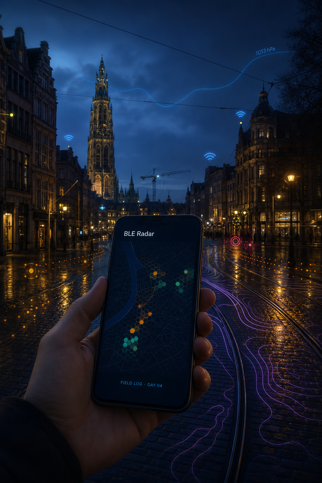
The image above is concept artwork of the app in Antwerp, not a live sensor capture. The full-resolution original is here. The Explorer remains the measured record.